Dr. Robert Tsai | PT, DPT

  • HOME
  • Doctor of Physical Therapy
  • Dance Health Educator
  • DANCE|PREHAB
JPEG image-D6A05ED1BC91-21.jpeg

Mt Langley + Cottonwood Lakes, CA // 9.26~9.28 / 10.27~10.29.2017

November 03, 2018 by Robert Tsai

9.26~9.28 // Mt Langley Attempt #1

naptime at Long Lake

All smiles at 12000’ and 6am

10.27~10.29 // Mt Langley Attempt #2

Early 6 am start from Cottonwood

Good people.

Cottonwood Lake 1, with Mt Langley in the distance (on the R).

Camp set-up and pitstop at Long Lake

High Lake on the way up to New Army Pass

Trekking up New Army Pass. High Lake, Long Lake, and Cottonwood Lakes #2 and #1 in the back.

Cairns marking the trail.

Screaming on the inside.

BOOM. 11 miles and 14,042’ BABY.

WE HERE.

It’s a long way down.

Sky Blue Lake & Miter Basin (L) and Mt. Whitney (R)

Heading back to camp… now if we can just find the next step…

Early AM views the next morning.

Trekkin’ back out.

November 03, 2018 /Robert Tsai
1 Comment
Photo Nov 21, 4 37 30 PM.jpg

Little Tokyo, Los Angeles, CA // 11.22.2017

November 30, 2017 by Robert Tsai
November 30, 2017 /Robert Tsai
Comment

Cottonwood Lakes, CA // 2017.7.9-7.11

July 29, 2017 by Robert Tsai
July 29, 2017 /Robert Tsai
Comment

Death Valley, CA // 4.27~4.29.2016

September 26, 2016 by Robert Tsai

Mosaic Canyon | Calvin taking the road less traveled. 

Mosaic Canyon | noon sun beatdown. 

Mesquite Flat Dunes

Mesquite Flat Dunes

Mesquite Flat Dunes

Mesquite Flat Dunes | sand everywhere... 

Mesquite Flat Dunes

Mesquite Flat Dunes

Zabriskie Point | unfortunately, a cloudy morning, but the colors were still coming out to play. 

Zabriskie Point

Golden Canyon

Golden Canyon

Golden Canyon | looking west  

Badwater Basin

Devil's Golf Course | very aptly named.. 

Dante's View

Dante's View

my trusty steed. 

September 26, 2016 /Robert Tsai
1 Comment

Rae Lakes, Kings Canyon Nat'l Park, CA // 8.22 ~ 8.25/2016

August 28, 2016 by Robert Tsai

Since passing through Rae Lakes on the JMT last year, I've made it a mental note to come back and absorb it all. Given the variability of Sierra weather, elevation gain, and long miles, we were all tested in some way, shape, or form... but ultimately trudging on with positive vibes from everyone to everyone, keeping each other going. It didn't hurt to be with some of my PT school classmates either.  Super lucky and super blessed to have all these wonderful people by my side, in the mountains and in life <3. 


DAY ONE
storm's a-brewin' between Onion Valley and Kearsarge Pass. 

Began raining and eventually hailing about two hours in. Karma finally caught up to me with all the great JMT weather last year.  

Deciding to wait out the hailstorm for another 2 hours or so.. Pretty sure we've never set up a tent so quickly and hot chocolate has never tasted so good. 

Continuing up to Kearsarge Pass after the hail subsided. pretty sure that smile more or less translates into "HAHAH what am i doing here LOL". 

Big Pothole Lake and nearing the top! 

One pass down! Calvin is ready for a nap. 
Kearsarge Pass - 11,709 ft. and entering King's Canyon National Park. 

Continuing onwards with Kearsarge Pinnacles and Kearsarge Lakes in the back

After miles of steep inclines, intermittent rain and hail, Charlotte Lake at sunset was indeed a sight for sore eyes (and arms and legs and body). 

DAY TWO
Morning sun salutations! 

Breakfast with a view. 

Onto the next pass! 

Up and above the tree line with Charlotte Lake in the back. Thankfully, we would have cloud cover and no rain heading up to Glen Pass

Rocks, rocks, and more rocks. 

Making friends atop Glen Pass at 11,926!
It's always a pleasure to meet people on the trail, learning about them, their intentions, and stories they have to share. Even with all the different walks of life, you can definitely feel the connection based off of the fact that everyone you meet out here is exactly where they want to be... in the middle of nowhere. 

Another rocky descent from Glen Pass and arrival at Rae Lakes with the Painted Lady in the back. 

Probably one of my favorite shots from this trip. With each passing minute and subsequent rotation of the earth, the sun's rays illuminate the natural rock formations in a slightly different way, bringing out textures and colors one wouldn't see otherwise. 

DAY THREE
Early morning sunrise as the light slowly creeps across the land towards our campsite. 

Just morning yoga things. 

One last one before heading back up to Glen Pass. 

when you go backpacking with PT students.

- After being in physical therapy school for a year, it has been interesting looking back on my JMT hike with new eyes. For almost three weeks I had lateral R knee pain, and I hiked with my R leg circumducting, unable to properly flex my knee without pain for more than 10 or so degrees. It would also be painless after 90 degree flexion. Inclines were tolerable, however, while descending downward slopes, I could only lead with my R leg, as any hip extension in addition to knee flexion reproduced my lateral knee pain. I initially attributed this knee pain directly to my knee structures, as I've had knee injuries from breakdancing in the past. 

I now know that my discomfort wasn't a result of my knee, but rather, a result of a tight IT band (which itself was a result of tight glutes and TFL) pulling on Gerdy's tubercle. I now make it an active choice to alternate when ascending steps, and consciously activate musculature that It was nice to be on this trip with my fellow students as we were all able to apply our newly gained knowledge to each other's issues, decreasing pain, and increasing our ability to continue on. 

View fullsize IT band/Biceps femoris!
IT band/Biceps femoris!
View fullsize dorsiflexion is everything
dorsiflexion is everything
View fullsize some tib ant action
some tib ant action
View fullsize upper traps + pec minor!
upper traps + pec minor!

Mmmm lunchtime :D

Smoothly carved mountain sides, a remnant of ancient glaciers that once plowed through the Sierras. 

Bullfrog Lake + clear views that we missed due to the storm on Day One. 

Dusk by Kearsarge Lakes

DAY FOUR
Morning sunlight skimming the tops of Kearsarge Pinnacles + the little stream that simultaneously 1) soothed me to sleep and 2) made me really need to pee in the middle of the night. 

Another morning yoga session courtesy of Krystal. 

Almost done! All downhill from here. 

We smell. 

August 28, 2016 /Robert Tsai
Comment
IMG_5201.jpg
Screen Shot 2016-05-02 at 6.47.23 PM.png
GOPR4561.jpg
IMG_5172.jpg
DSCF3309.jpg
DSCF3305.jpg
IMG_5174.jpg
GOPR4582.jpg
DSCF3327.jpg
GOPR4569.jpg
DSCF3335.jpg
IMG_5196.jpg
GOPR4653.jpg
IMG_5198.jpg
DSCF3336.jpg
DSCF3340.jpg
G0034706.jpg
G0044713.jpg
DSCF3319.jpg
DSCF3359.jpg
DSCF3362.jpg
DSCF3364.jpg
May 02, 2016 by Robert Tsai
May 02, 2016 /Robert Tsai
Comment

good runs with good ones.

January 24, 2016 by Robert Tsai
January 24, 2016 /Robert Tsai
Comment

Mt Baldy, CA // 1.17.2016

January 19, 2016 by Robert Tsai
Photo Jan 17, 8 45 54 AM.jpg
Photo Jan 17, 9 28 36 AM.jpg
Photo Jan 17, 10 15 15 AM (1).jpg
Photo Jan 17, 9 38 40 AM.jpg
DSCF3235.jpg
Photo Jan 17, 11 17 23 AM.jpg
DSCF3242.jpg
Photo Jan 17, 11 11 31 AM (1).jpg
January 19, 2016 /Robert Tsai
1 Comment

Tseng Family Reunion // Sun Moon Lake, Nantou County, Taiwan

January 17, 2016 by Robert Tsai
January 17, 2016 /Robert Tsai
Comment
DSCF2563.jpg
unnamed-4.jpg
DSCF2591.jpg
unnamed-5.jpg
unnamed-6.jpg
unnamed-3.jpg
DSCF2598.jpg

New York // 8.29~9.1.2015

October 02, 2015 by Robert Tsai
October 02, 2015 /Robert Tsai
Comment

Bighorn Plateau // Myself, Josh, and Shawn

Northbound on the John Muir Trail // 7.20 ~ 8.6.2015

August 16, 2015 by Robert Tsai in travel, backpacking

I suppose I should preface this with some sort of introduction...

I met Josh (above, center) in January of 2015 while on an early-morning solo winter summit of Mt Baldy (Mt. San Antonio) in the San Gabriel Mountains in Los Angeles, California, and Shawn (in flip-flops), the day before we set out on the John Muir Trail. Shawn's reputation of hiking in flip-flops became something of a trail conversation-starter (dubbed by Josh as "The Langley Legend", given that he climbed Mt Langley in them), and every once in awhile we'd run into someone exclaiming, "Are you guy hiking in flip-flops?" or turning to their hiking partner, "This is the flip-flop man I was telling you about!" We never really got into the whole trail-name thing, but at one point I suggested "Enter Sandalman". 

I'd always enjoyed hikes and being outdoors, but it was through meeting Josh that everything went up another level (or ten levels). Early on, the John Muir Trail was briefly mentioned but I didn't give it much serious thought until later. However, over the subsequent months I was fortunate to have the company of Josh, his girlfriend Nicole, friends here and there, and of course Krystal, on multiple summits of Baldy, San Jacinto, San Gorgonio (which we in a single day. Never again), and miscellaneous trips out to Joshua Tree and the American Southwest. 

As of this writing, I'm still not really sure how to describe why I decided to do the JMT, or perhaps it's because there is no singular reason. I've thought to myself "If I can do this, I can handle PT school!" and also, "I got accepted to PT school! I can do this!" amongst a myriad of varying thoughts and motivations. However, I would say a significant part of me dove right in, simply because I didn't want to become caught up with the idea and thought of being outdoors and in the wilderness. I suppose its easy to say we want to do things, or we want to go places, but how often do we actually put up with all the crap that comes with it? Then again, I also know that I am beyond fortunate to be in a position where I had the time to spare (prior to returning to school) and to set aside for a long trip such as the JMT. Reasons came to me as the miles went on, and reasons are still coming to me in the days of post-hike nostalgia. I'm sure more realizations will reveal themselves as time progresses, if not on future excursions, but will always lead me back to the time I trekked alongside (or.. uh.. behind?) Josh and Shawn during our 18 days on the JMT. 

Endless thanks to Josh and Shawn for allowing me to join them on this trip of a lifetime, and cheers to everyone we met, hiked, and connected with on the trail. 

Enjoy!
(gear list below)


DAY 1 - Monday, July 20, 2015 - Cottonwood Pass Trailhead >> Sky Blue Lake
DAY 2 - Tuesday, July 21, 2015 - Sky Blue Lake >> Hitchcock Lakes
DAY 3 - Wednesday, July 22, 2015 - Hitchcock Lakes >> Mt Whitney >> Wright Creek
DAY 4 - Thursday, July 23, 2015 - Wright Creek >> Forester Pass
DAY 5 - Friday, July 24, 2015 - Vidette Meadow/Bubbs Creek >> Kearsarge Pass >> Onion Valley
DAY 6 - Saturday, July 25, 2015 - Onion Valley >> Kearsarge Pass >> Glen Pass >> Dollar Lake 
DAY 7 - Sunday, July 26, 2015 - Dollar Lake >> South Fork King's River
DAY 8 - Monday, July 27, 2015 - South Fork King's River >> Mather Pass >> Middle Fork King's River (Le Conte Canyon) 
DAY 9 - Tuesday, July 28, 2015 - Middle Fork Kings River (Le Conte Canyon) >> Muir Pass >> Evolution Lake
DAY 10 - Wednesday, July 29, 2015 - Evolution Lake >> Piute Creek >> Senger Creek
DAY 11 - Thursday, July 30, 2015 - Senger Creek >> Seldon Pass >> Vermillion Valley Resort
DAY 12/13 - Friday/Saturday, July 31 - August 1, 2015 - Vermillion Valley Resort
DAY 14 - Sunday, August 2, 2015 - Vermillion Valley Resort >> Silver Pass >> Purple Lake Jct.
DAY 15 - Sunday, August 3, 2015 -  Purple Lake Jct. >> Agnew Meadows
DAY 16 - Tuesday, August 4, 2015 - Agnew Meadows >> Maclure Creek
DAY 17 - Wednesday, August 5, 2015 - Maclure Creek Jct >> Long Meadow
DAY 18 - Thursday, August 6, 2015 // Long Meadow >> Happy isles


*will be periodically updating!*


GEAR LIST

Pack
> Osprey Atmos AG 65 + raincover

Food/Water Storage
> BearVault BV500
> Platypus 2L Platybottle
> SmartWater 1L (x2) 
> JetBoil Zip + 230g fuel cannister + 2 lighters
> Sawyer Squeeze Filter + 1L bag
> Light My Fire Spork (plastic)
> travel mug

Photo
> 
Lowepro Adventura SH 100 II Camera Bag
> Fuji XM-1 + extra battery + charger + 128 GB card
> GoPro Hero4 Silver + extra 2 batteries + charger + 64 GB card
> iPhone 5 + wall charger + cord
> mini-tripod

Electronics
> 5W BLKBOX Portable Folding Solar Charger
> PowerAdd Apollo 2 Solar Charger/powerbank
> Pelican Products 2710 LED Headlamp + AAA  (x4)

Misc. 
> Watch: Timex Expedition Scout
> Leatherman Wingman Multitool
> Moleskine notebook + pen
> Tom Harrison JMT Maps
> Mosquito Repellent
> Sunblock
> Adventure Medical Kits First Aid 2.0 - stripped down to
   bandages/band-aids/meds
> Athletic tape
> REI Multitowel (M) 
> Paracord (30 ft)
> matches + waterproof case

Sleep
> Therm-a-Rest NeoAir Trekker Sleeping Pad
> Marmot 20°F Sorcerer Sleeping Bag
> Sea to Summit Aeros Pillow
> REI Midweight Long Underwear Crewneck Shirt
> REI Midweight Long Underwear Bottoms

Shelter
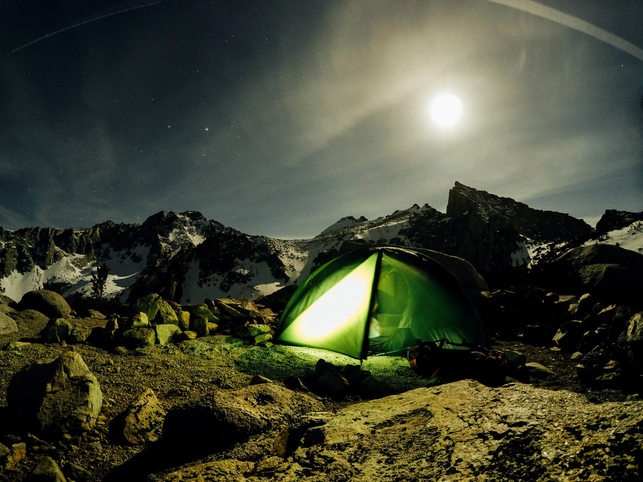
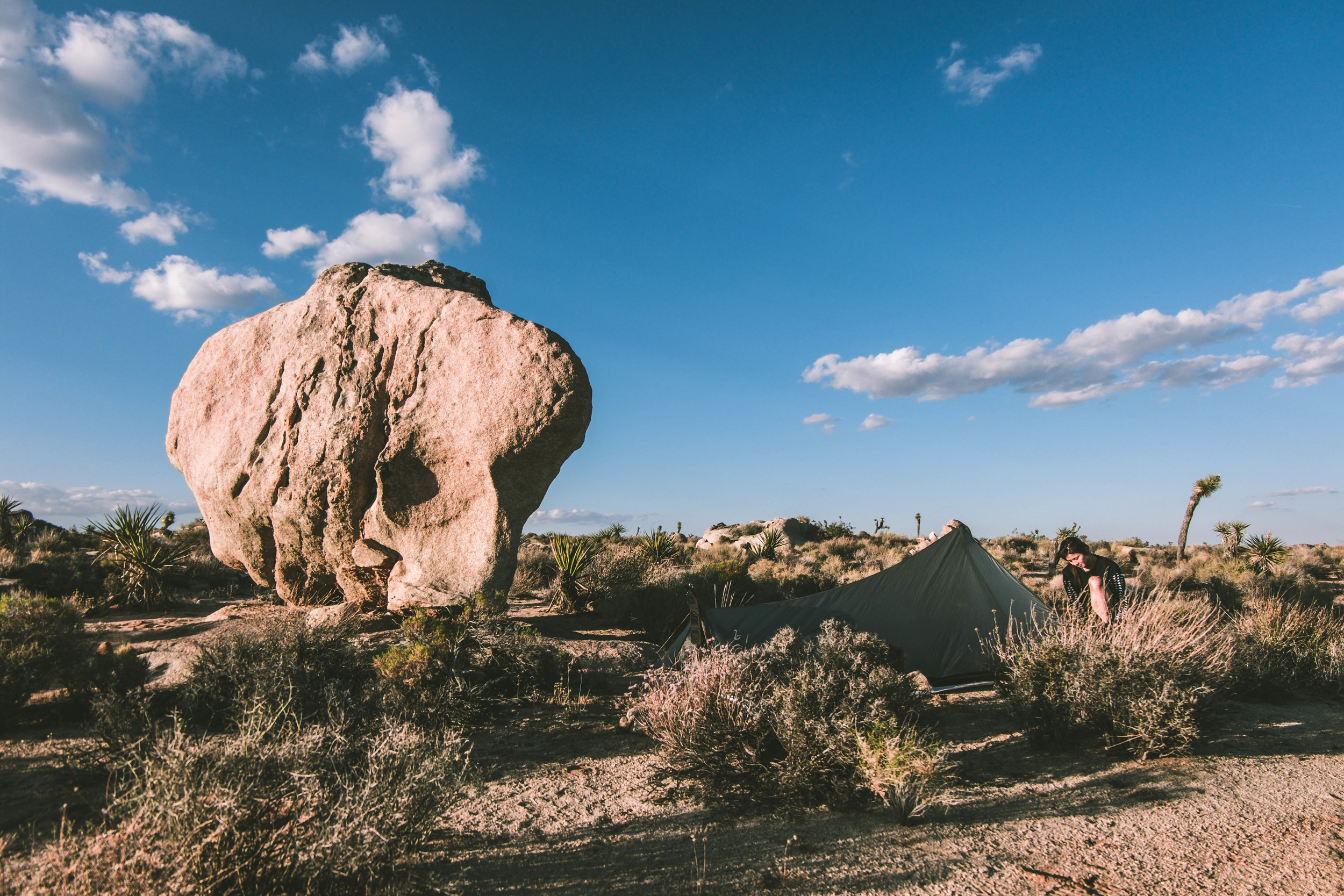
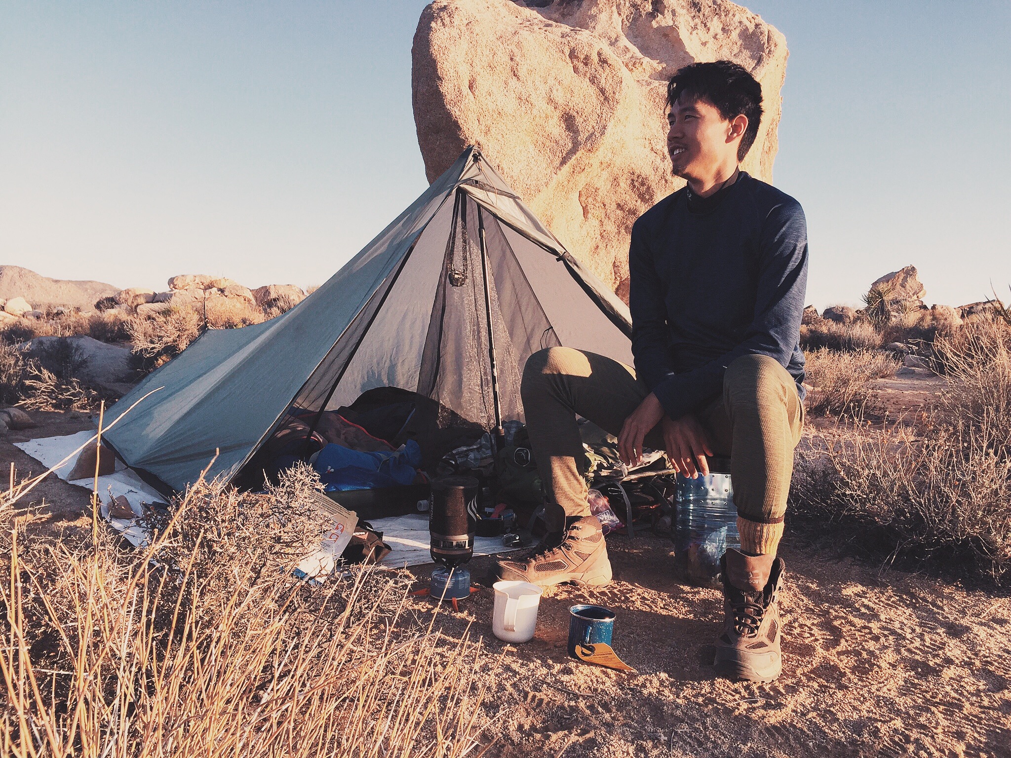
> TarpTent Protrail + MSR Ground Hog Tent Stakes (x4)
> Footprint (Tyvek tarp cut down to size, held down with rocks)
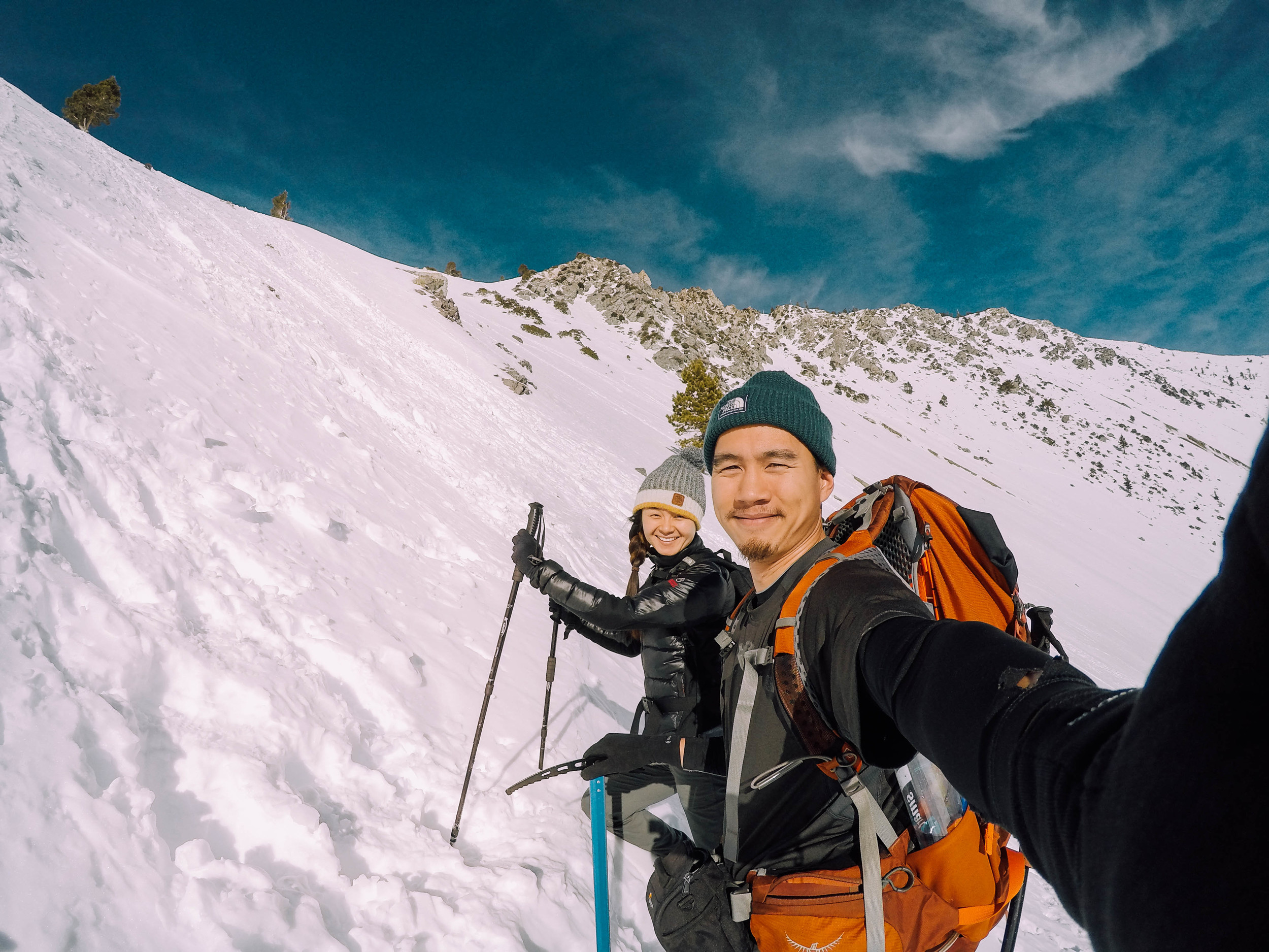
Clothing
> NorthFace moisture-wicking shortsleeve
> UnderArmour ColdGear longsleeve
> Columbia Sportswear Whirlibird Interchange Jacket
> White Sierra convertible pant
> Nike shorts
> Adidas DriFit underwear (x2)
> High Sierra hiking sock (1 pair)
> Timberland outdoor boot sock (1 pair) 
> Black Diamond Lightweight Gloves
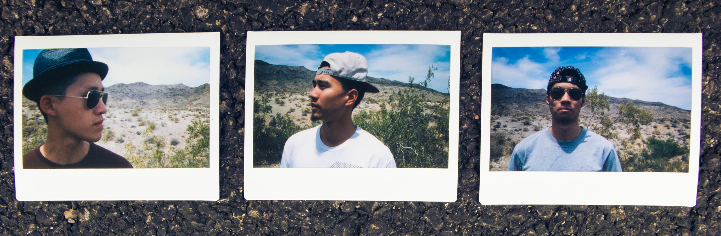
> hat + bandana
> sunglasses
> McDavid Level 2 Knee Sleeve   

Footwear/Hiking
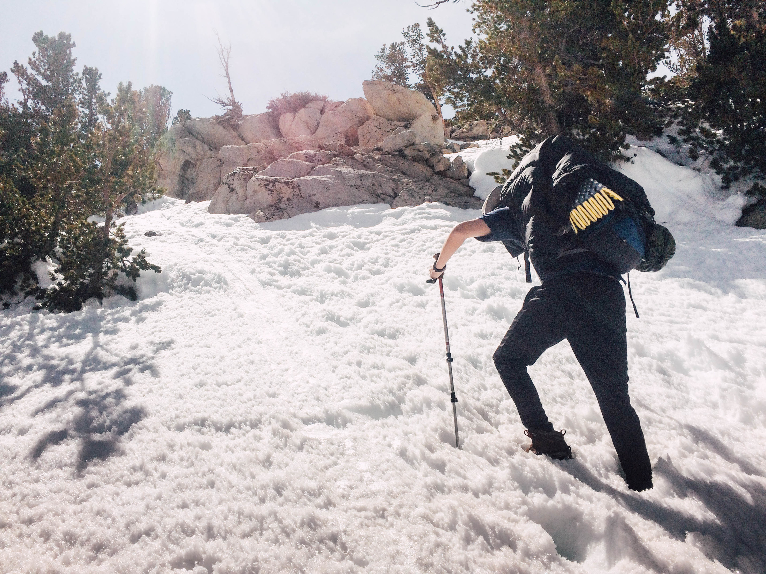
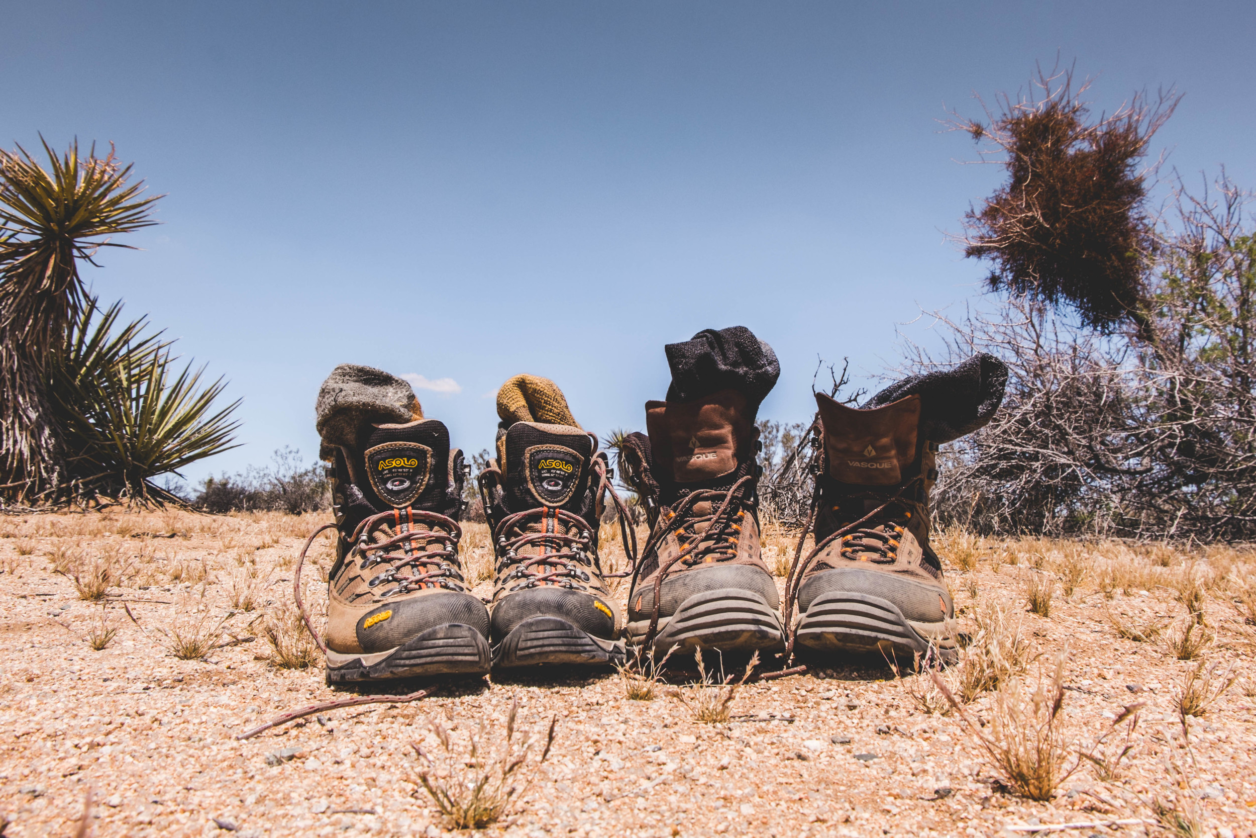
> Vasque Breeze 2.0 GTX Hiking Boot
> Crocs (for camp)
> BAFX Trekking Poles (also served as tent poles)

Hygiene
> toothbrush + travel toothpaste
> Sea to Summit Wilderness Wipes


Needless to say, gear is expensive. In preparing, I tried and returned a significant amount of gear, and often scoured stores for sales/special promotions/cheaper prices.

    + Amazon often had great deals that would pop up for electronics
    + REI had their discounts and Garage Sales (most items returned after only a few uses, if any at all. I scored two pairs of hiking boots, each retailing for over $120, but I paid $85 for both. Line up early!)
    + Most websites will send you "encouraging" emails with coupons and what not if you leave your items in their shopping cart for a        day or two.
    + Marshalls/Ross will carry clothing items as well for cheaper prices. I also found clothing options at Buffalo Exchange. 

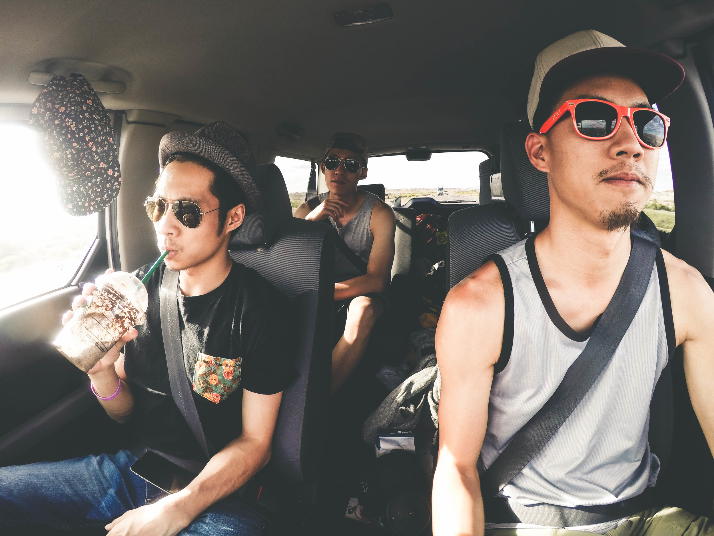
Much of my clothes I found at thrift stores and my sunglasses were those free plastic ones I received at a school interview. Between the three of us, the two solar chargers kept our phones and cameras fully juiced for photos and GPS purposes. I almost brought the Elizabeth Wenk JMT guide but opted for the Kindle version on my phone last minute. Best decision ever. And yes I brought my freakin' wall charger for my phone which I only really used for the two days we were at VVR and an hour at Reds Meadow. In all honesty, it was worth it to me to bring it just for those two days and not have to worry about bothering someone else for theirs. 

Some items I initially thought I'd need, but never ended up bringing/were sent back included:
> magnesium fire starter
> an extra set of hiking clothes
> camp soap/shampoo, etc - who was i kidding... 
> 5L collapsible bucket
> sleeping bag liner
> mosquito head net
> 1L Sawyer Squeeze bag (ended up using the 2L Platybottle for dirty water. time to clean!) 

August 16, 2015 /Robert Tsai
john muir trail, hiking, backpacking, sierra mountains, eastern sierras, thru-hiking
travel, backpacking
1 Comment
June 12, 2015 by Robert Tsai

celebrating some life milestones with silliness feat. @ckuothree & @allenninh

NV - Valley of Fire
UT - Zion National Park / Bryce Canyon
AZ - Antelope Canyon / Horseshoe Bend / Grand Canyon

filmed: GoPro Hero 4 Silver / iPhone 5s / Fuji XM-1
edit: Adobe Premiere Pro 
music: FKJ - Open the Door
additional photocredits: @allenninh

June 12, 2015 /Robert Tsai
Comment
  Onion Valley  |  heading up towards Kearsarge Pass

Onion Valley | heading up towards Kearsarge Pass

  Onion Valley  |  nearing Kearsarge Pass

Onion Valley | nearing Kearsarge Pass

IMG_9400.jpg
  Kearsarge Pass  |  silliness at 11,709 ft.&nbsp; Big Pothole Lake&nbsp; to the left,&nbsp; King's Canyon&nbsp; to the right.&nbsp;

Kearsarge Pass | silliness at 11,709 ft. Big Pothole Lake to the left, King's Canyon to the right. 

  Kearsarge Pinnacles  |  looking west from Kearsarge Pass into Kings Canyon National Park and John Muir Wilderness.&nbsp;

Kearsarge Pinnacles | looking west from Kearsarge Pass into Kings Canyon National Park and John Muir Wilderness. 

  a "little" hump west of Bullfrog Lake, headed towards Charlotte Lake.&nbsp;

a "little" hump west of Bullfrog Lake, headed towards Charlotte Lake. 

  Charlotte Lake  |  after the snow that was after the rain..&nbsp;

Charlotte Lake | after the snow that was after the rain.. 

  Charlotte Lake&nbsp; |  staying high and dry

Charlotte Lake | staying high and dry

  Charlotte Lake&nbsp; |  Josh &amp; Nicole

Charlotte Lake | Josh & Nicole

  flower photo for Mom

flower photo for Mom

  Charlotte Lake&nbsp; |&nbsp; woke up to this.&nbsp;

Charlotte Lake | woke up to this. 

  Vidette Meadow in Bubbs Creek Valley |&nbsp; oh wow

Vidette Meadow in Bubbs Creek Valley | oh wow

  Bullfrog Lake&nbsp;

Bullfrog Lake 

  Bullfrog Lake&nbsp;

Bullfrog Lake 

  Kearsarge Lake and Pinnacles  |&nbsp; grateful for a clear exit day

Kearsarge Lake and Pinnacles | grateful for a clear exit day

  good times with good people

good times with good people

DSCF1088.jpg
IMG_9390.jpg
Photo Jun 06, 2 07 11 PM.jpg

[ Kings Canyon National Park ] - Onion Valley to Charlotte Lake.

June 10, 2015 by Robert Tsai
June 10, 2015 /Robert Tsai
Comment
 putting one foot in front of the other.&nbsp;

putting one foot in front of the other. 

 some silliness.&nbsp;

some silliness. 

 south of Jumbo Rocks. also&nbsp;looking-out-into-the-distance photo #4959753

south of Jumbo Rocks. also looking-out-into-the-distance photo #4959753

 set up just west of Geology Tour Rd

set up just west of Geology Tour Rd

 sunset x girl collab

sunset x girl collab

 looking west towards Ryan Mountain&nbsp;

looking west towards Ryan Mountain 

 a yoga moment.&nbsp;

a yoga moment. 

 GoPro long exposure looking north/northeast

GoPro long exposure looking north/northeast

 impromptu light painting session with headlamp and water bottle

impromptu light painting session with headlamp and water bottle

 wat.

wat.

 the moment coffee enters your bloodstream after being obnoxiously woken up at 4:30am.&nbsp;

the moment coffee enters your bloodstream after being obnoxiously woken up at 4:30am. 

 according to Krys, my REI moment.&nbsp;

according to Krys, my REI moment. 

 looking east towards Twenty Nine Palms Mountains and West Pinto Basin.&nbsp;

looking east towards Twenty Nine Palms Mountains and West Pinto Basin. 

 (in)significant other.&nbsp;

(in)significant other. 

 south of Jumbo Rocks again, heading back to Twin Tanks

south of Jumbo Rocks again, heading back to Twin Tanks

 looking-out-into-the-distance photo #4959754

looking-out-into-the-distance photo #4959754

 all smiles. (still... whew..)

all smiles. (still... whew..)

 more silliness

more silliness

 i think Krys is in here somewhere...&nbsp;

i think Krys is in here somewhere... 

 done...

done...

 ...and done.&nbsp;

...and done. 

 ...and done. here's some Honda Element &lt;3

...and done. here's some Honda Element <3

[Joshua Tree Nat'l Park] - Twin Tanks to Geology Tour Rd via California Riding and Hiking Trail

May 27, 2015 by Robert Tsai

I finally had the chance to take Krys out on a backcountry camping trip this past weekend. I'm paying for it currently with my right knee being funky, but I suppose a flat, 10 mile roundtrip was a better option than a 5000ft gain, 30 mile one. We hiked an eastern portion of the California Riding and Hiking Trail starting from the Twin Tanks backcountry board, heading west, and stayed the night between Geology Tour Rd and Ryan Mountain. Its been awhile since I've had company on these little excursions and I have to say, two is definitely better than one. Given our differing schedules (or more so, Krys having one and me, not having one) it was refreshing to finally be able to share these moments. 

There have been conversations in the past regarding music and listening to music on hiking/camping trips. Generally i've always felt the general consensus to be, leave the bluetooth speakers at home and enjoy the sounds of nature. While I still don't listen to music while on the move, lately I've found that having some kind (granted low volume and ambient) of music allows me to mentally ground myself a little. For myself, the silence and stillness amplifies the myriad of thoughts in my head and I've noticed the calming affect of music for myself. Granted, as a dancer (or dare I even refer to myself as a bboy still..?) I have always gravitated towards music and the energy of music and my subsequent reactivity, be it hype or chill. Does this mean I'm dependent and unable to completely disconnect? Whether its in the car, at home, or writing this right now, generally some kind of music is playing. On the other hand, I'm reminded of the natural human gravitation towards melodies, that even infants respond positively to harmonizing chords and steady rhythms regardless of cultural origin even before the intellectual understanding of music.

Also, can't give enough love to the Honda Element <3

May 27, 2015 /Robert Tsai
Comment
  Lower Covington Flat&nbsp; | looking west

Lower Covington Flat | looking west

  Quail Mountain  |&nbsp;sunset from up top &nbsp;(Mt. San Gorgonio in the back.)

Quail Mountain | sunset from up top  (Mt. San Gorgonio in the back.)

  Quail Mountain  | up with the rising sun at 5:00 am

Quail Mountain | up with the rising sun at 5:00 am

 cactuseseseses.

cactuseseseses.

 \( x.x)/

\( x.x)/

  California Riding and Hiking Trail  | Joshua Tree, CA

California Riding and Hiking Trail | Joshua Tree, CA

 California Riding and Hiking Trail out of Lost Horse Valley

California Riding and Hiking Trail out of Lost Horse Valley

  California Riding and Hiking Trail&nbsp; | Joshua Tree, CA

California Riding and Hiking Trail | Joshua Tree, CA

  California Riding and Hiking Trail&nbsp; | Joshua Tree, CA

California Riding and Hiking Trail | Joshua Tree, CA

  California Riding and Hiking Trail&nbsp; | Joshua Tree, CA

California Riding and Hiking Trail | Joshua Tree, CA

 salmon rock.&nbsp;

salmon rock. 

G0352343.jpg

[Joshua Tree Nat'l Park] - Black Rock Canyon to Quail Mountain via California Riding and Hiking Trail

May 22, 2015 by Robert Tsai
May 22, 2015 /Robert Tsai
Comment
  5:13 pm  | halfway up and thinking about how its too late to be&nbsp;wondering if this was a bad idea

5:13 pm | halfway up and thinking about how its too late to be wondering if this was a bad idea

  7:14&nbsp;pm  | arriving up top

7:14 pm | arriving up top

  7:24&nbsp;pm  | set up and ready for dinner with a view

7:24 pm | set up and ready for dinner with a view

  1:36 am  | the visual of the&nbsp;sheer amount of stars allowed me to be distracted from the cold for about.. two seconds.&nbsp;

1:36 am | the visual of the sheer amount of stars allowed me to be distracted from the cold for about.. two seconds. 

  6:06 am  | the sun peeking over the clouds

6:06 am | the sun peeking over the clouds

  6:10 am  | stereotypical adventure photo... check.&nbsp;

6:10 am | stereotypical adventure photo... check. 

  6:48 am&nbsp; | heading under the clouds

6:48 am | heading under the clouds

mt. brrrr...aldy.

May 15, 2015 by Robert Tsai

Found some time and decided to spontaneously head up to Mt San Antonio aka Mt Baldy for a quick overnight trip. With a storm forecasted for the next day, I figured I'd be able to catch the clouds rolling in. Also finally got around to getting a run in with the Osprey Atmos AG 65. In preparation for longer backpacking trips I purposely hauled some extra weight with me (mostly food items, bear can, water, etc) and I have to say that pack does not disappoint!

On the mental side of things, I am realizing how cluttered with thoughts my mind is. Given that it was a weekday, I was the only one on the summit that night, and there was a new degree of solitude and alone-ness that I don't believe I have ever felt. It seems like I have yet to learn, or perhaps, train my mind to be truly at peace. Being alone, without any distractions, my mind wandered with such aimlessness that I almost felt somewhat uncomfortable and unable to focus in the moment. Who am I again? Perhaps this is where I need to find thoughts to meditate and chew on when all else falls away. Thankfully, despite the freezing winds, staring up at the night sky brought on a calming reminder of self and an acknowledgement of place in my life, in others' lives, of experiences and lessons, for those who graciously allow me to be part of their adventures, and for the opportunity to learn so that I may give in return. Perhaps that is a first step. 

May 15, 2015 /Robert Tsai
mt baldy, mt san antonio, san gabriel mountains, hiking, camping
Comment
 bARC Pasadena | pasadena, CA

bARC Pasadena | pasadena, CA

May 10, 2015 by Robert Tsai
May 10, 2015 /Robert Tsai
Comment
  t-BAE&nbsp; | temple city, CA  all homo.&nbsp; &nbsp;

t-BAE | temple city, CA
all homo.  

May 10, 2015 by Robert Tsai
May 10, 2015 /Robert Tsai
Comment
 polaroids by  Allen Ninh

polaroids by Allen Ninh

 Valley of Fire, NV.&nbsp;

Valley of Fire, NV. 

 Valley of Fire, NV.

Valley of Fire, NV.

  Valley of Fire, NV.&nbsp;

Valley of Fire, NV. 

  Valley of Fire, NV  .&nbsp;

Valley of Fire, NV. 

  Valley of Fire, NV  .&nbsp;

Valley of Fire, NV. 

 Zion National Park, UT.&nbsp;

Zion National Park, UT. 

   angel's landing  |&nbsp;Zion National Park, UT.&nbsp;

angel's landing | Zion National Park, UT. 

   angel's landing  | Zion National Park, UT.&nbsp;

angel's landing | Zion National Park, UT. 

   the narrows  |&nbsp;Zion National Park, UT.&nbsp;

the narrows | Zion National Park, UT. 

  the narrows  | zion national park, UT.&nbsp;

the narrows | zion national park, UT. 

  the narrows  &nbsp;|&nbsp;Zion National Park, UT.&nbsp;

the narrows | Zion National Park, UT. 

  the narrows  &nbsp;|&nbsp;Zion National Park, UT.&nbsp;

the narrows | Zion National Park, UT. 

 Bryce Canyon, UT.&nbsp;

Bryce Canyon, UT. 

  Bryce Canyon, UT.&nbsp;

Bryce Canyon, UT. 

  horseshoe bend  | Page, AZ.&nbsp;

horseshoe bend | Page, AZ. 

  lower antelope canyon&nbsp;  | Page, AZ.&nbsp;

lower antelope canyon | Page, AZ. 

  lower antelope canyon&nbsp;  | Page, AZ.&nbsp;

lower antelope canyon | Page, AZ. 

  lower antelope canyon&nbsp;  | Page, AZ.&nbsp;

lower antelope canyon | Page, AZ. 

  lower antelope canyon&nbsp;  | Page, AZ.&nbsp;

lower antelope canyon | Page, AZ. 

  lower antelope canyon&nbsp;  | Page, AZ.&nbsp;

lower antelope canyon | Page, AZ. 

  lower antelope canyon&nbsp;  | Page, AZ.&nbsp;

lower antelope canyon | Page, AZ. 

  lower antelope canyon&nbsp;  | Page, AZ.&nbsp;

lower antelope canyon | Page, AZ. 

  on the road  | somewhere, SW USA.&nbsp;

on the road | somewhere, SW USA. 

  desert view  | Grand Canyon, AZ

desert view | Grand Canyon, AZ

  oh deer  | grand canyon, AZ.&nbsp;

oh deer | grand canyon, AZ. 

  desert view&nbsp;  | Grand Canyon, AZ

desert view | Grand Canyon, AZ

  desert view&nbsp;  | Grand Canyon, AZ

desert view | Grand Canyon, AZ

 vizual vibez.&nbsp;

vizual vibez. 

[ roadtrip rowdiness 2015 ] - NV | UT | AZ

May 05, 2015 by Robert Tsai in travel

for more photos: Click Here for Flickr! Enjoy!

May 05, 2015 /Robert Tsai
utah, arizona, nevada, valley of fire, grand canyon, zion national park
travel
Comment
IMG_8321.jpeg
DSCF0383.jpg
DSCF0376.jpg
DSCF0399.jpg

beach bums

April 16, 2015 by Robert Tsai
April 16, 2015 /Robert Tsai
Comment
  • Newer
  • Older
 
13.png
 

Copyright © 2023 Robert Tsai